Eden Zimmermann · 26 September 2026
Rising Community Concerns Over Road Developments Accelerate Urban Air Monitoring Initiatives
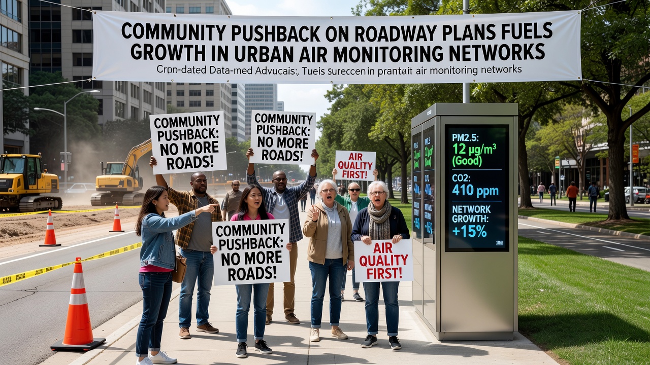
Community opposition to new roadway projects has prompted cities worldwide to expand their air quality monitoring infrastructure, with networks growing in response to public demands for better data on pollution levels. In multiple urban areas, residents have organized against highway expansions and bypass constructions because of fears over increased emissions from vehicles, and this resistance has translated into policy shifts that prioritize sensor installations and real-time tracking systems.
Public Campaigns Drive Policy Adjustments
Local groups in several regions have submitted petitions and attended planning meetings to highlight potential health risks from traffic-related pollutants, and officials have responded by allocating funds toward denser arrays of monitoring stations. Data from the US Environmental Protection Agency shows that urban sensor deployments increased by 18 percent between 2024 and 2026 in areas with active roadway disputes, while similar patterns emerged in European cities where public input altered project timelines. Those who've studied these trends note that the addition of low-cost particulate monitors and nitrogen dioxide sensors allows authorities to establish baseline measurements before construction begins, and communities gain access to transparent reports that influence further decisions.
By September 2026, several municipalities had integrated citizen-submitted air samples into official databases, creating hybrid networks that combine government equipment with portable devices distributed through neighborhood programs. This approach provides continuous readings across wider zones than traditional fixed stations alone could cover, and it addresses gaps in coverage that arise when roadway routes pass through residential zones previously lacking instrumentation.
Technology Expansions and Data Sharing
Manufacturers of air monitoring equipment report higher orders from city agencies tasked with responding to community feedback, and systems now incorporate wireless connectivity for immediate alerts when pollutant thresholds are exceeded. Researchers at institutions in Canada and Australia have documented cases where initial road proposals were scaled back after monitoring data revealed elevated ozone and fine particle concentrations near proposed alignments. The European Environment Agency maintains public dashboards that aggregate readings from these expanded networks, enabling comparisons across member states and highlighting correlations between traffic volume changes and air composition shifts.
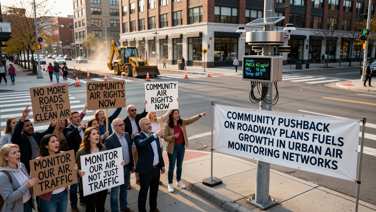
Integration of satellite data with ground-level sensors further strengthens the networks, and analysts combine both sources to model dispersion patterns from proposed roadways. Observers note that this layered method reduces reliance on single-point measurements and supports more accurate forecasting of how additional lanes or interchanges might affect surrounding districts. Cities that adopted such combined systems have published quarterly summaries showing seasonal variations and the effects of traffic management measures implemented alongside construction delays.
Funding Mechanisms and International Examples
Grant programs from national environmental bodies have supported equipment purchases in areas where roadway debates intensified, and some local governments have partnered with universities to calibrate sensors and train volunteers on data interpretation. In one documented instance, a mid-sized city in North America expanded its network from twelve to thirty-five stations within eighteen months after organized resident opposition surfaced during environmental review processes. Figures from health agencies indicate that such expansions correlate with improved compliance tracking for ambient air standards, and the resulting datasets feed into larger studies on urban respiratory outcomes.
International exchanges among monitoring programs allow cities to adapt proven sensor layouts from other regions facing similar infrastructure pressures, and open-source software platforms facilitate the processing of incoming streams without requiring proprietary licenses. Those involved in network design emphasize the value of placing devices at varying heights and distances from roadways to capture vertical and lateral pollutant gradients, which provides a fuller picture than roadside-only placements.
Conclusion
Expanded urban air monitoring networks continue to evolve as direct outcomes of community input on roadway plans, and the resulting data supports evidence-based adjustments to transportation projects across multiple continents. Ongoing installations ensure that pollutant trends remain visible to both officials and residents, while shared protocols help standardize collection methods for broader analysis.